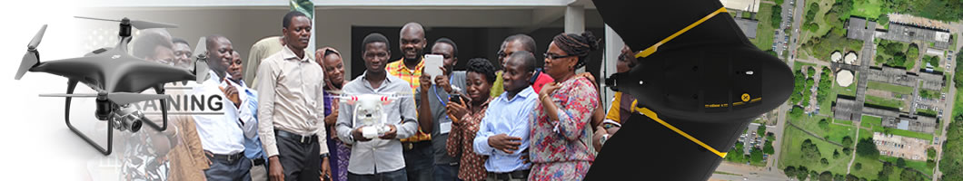
INTRODUCTION TO UNMANNED AERIAL SYSTEMS
This module introdue the UAV world. Types, Configurations, payload, strengths and capabilities
of UAVs are discussed. The student also learn about the UAVs applicable to geospatial surveys.
BASICS OF UAV OPERATION
The module explains the operation of uav in the field. Focus is on how to deploy, maneauver and control the
operations regarding take off, landing, behaviours and safety precautions.
FIELD SURVEYS WITH UAVs
This module discusses the rudiments of collecting high quality aerial photographs in the field. Mission planning and factors influencing field data captures
were discussed alongside camera capabilities.
IMAGE PROCESSING
Processing overlapping aerial photographs to derive geospatial products are discussed in this module using softwares such as Pix4D, Drone2Map, Agisoft Metashape.